
Distance: 17km | Ascent: 270m | Time: 3 – 4.5hrs
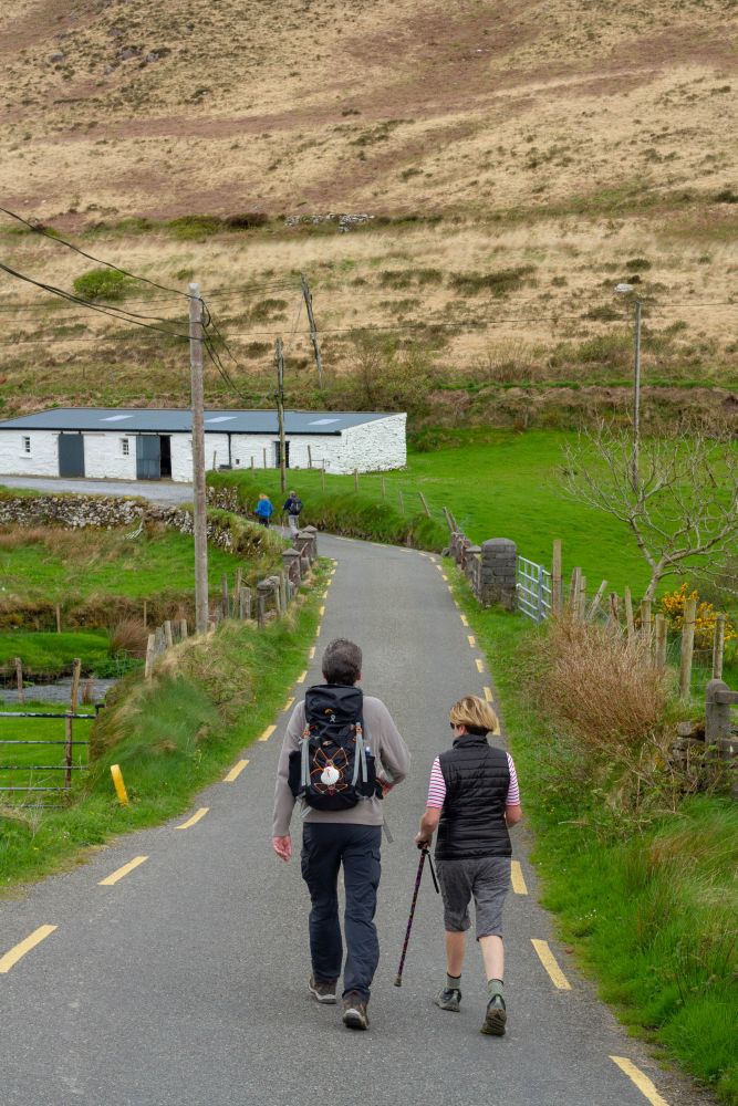
Leaving Camp Village, the terrain over the next section of the Kerry Camino is a lot more negotiable than the previous stage as it follows minor roads that are so rarely used it would come as a surprise to see a car on one! Rejoining the trail to the west of the Finglas River crossing, the Kerry Camino follows a straight south-westerly direction for 2km, gradually rising out from the valley. Views of Caherconree Mountain (835m) and the impressive megalithic fort perched close to its top are behind, to the east of the valley, and provide the main focal point of interest.
Small stacks of cut turf dot the landscape as the trail gradually starts to descend towards a small plantation of coniferous trees. This is the only sizeable forest on the entire Kerry Camino and continues for 2km before emerging and joining a minor back road heading south. Keep an eye out for cars coming along this road as the noise from the Emlagh River might drown them out. The Kerry Camino briefly follows the course of this road until it crosses the Emlagh River whereupon it exits up a rough track with a short ascent. The trail gradually swings around to the west and reveals a spectacular view of Inch Beach where the continuous stream of frothing waves come crashing ashore. There is a welcome opportunity to take a break at Inch Beach with a café, shop and a pub nearby serving lunch. This famous setting is where parts of Ryan’s Daughter was filmed at the end of the 1960s.
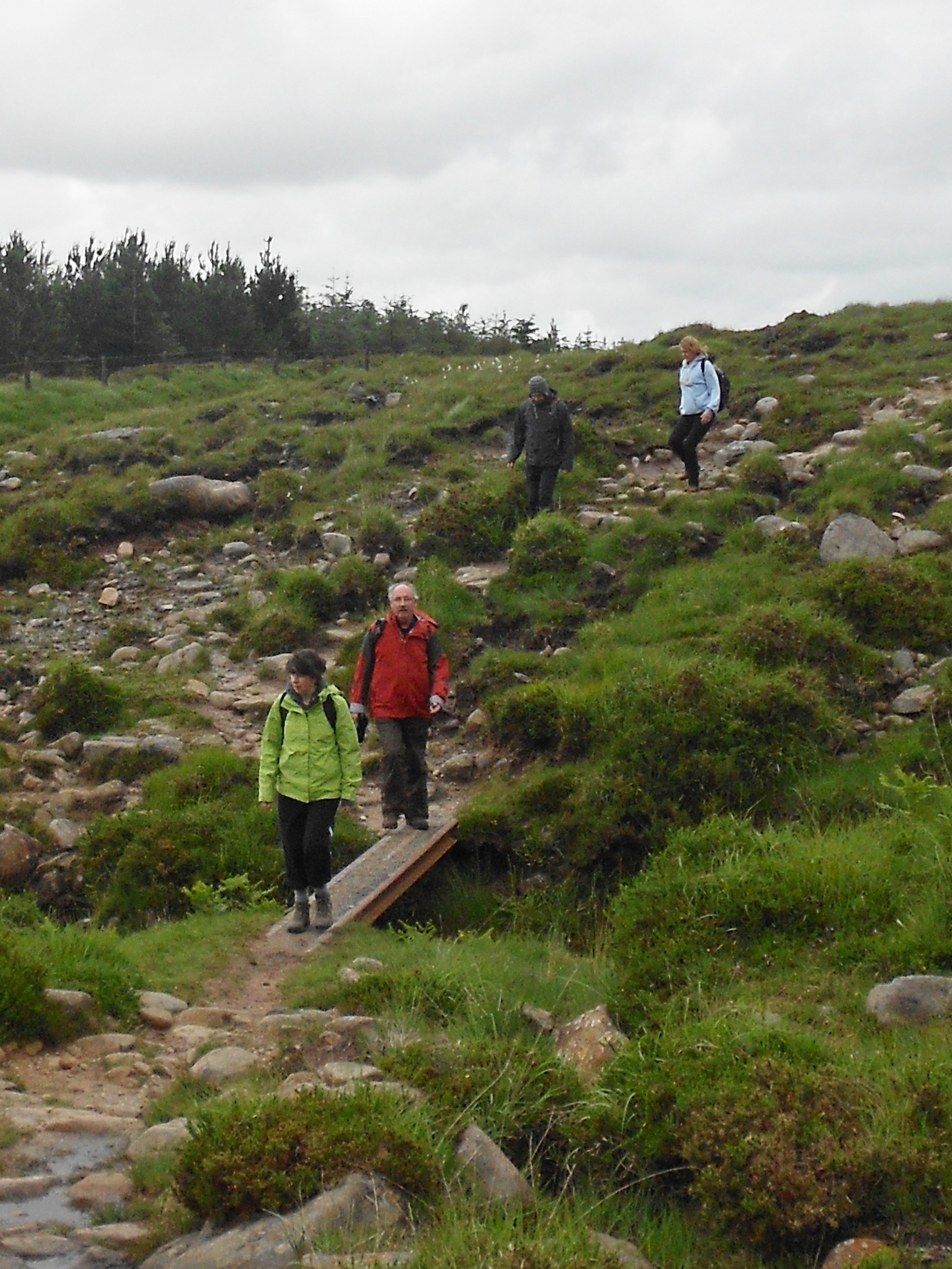
After regaining some strength and starting back on the trail, the Kerry Camino starts to ascend behind a line of houses that face out towards the bay. The walk gradually edges its way inland aiming for Maum at a height of 180m above sea-level. Between Inch and Annascaul the majority of the route is on small roads, with the exception of a small excursion across a field.
Rounding the small summit of Knockafeehane, there is a spectacular view of Lough Annascaul as it rests in the arms of a dramatic u-shaped glacial valley. In some of the fields in the more immediate foreground, keep a watchful eye for some ancient standing stones. The road stretches out in a perfectly straight line which is very uncharacteristic of the area, with the final 2km bringing the walker into the heart of Annascaul. This village is most famous as the birthplace of Tom Crean the great explorer and his home lies on the site where the South Pole Inn is now located (Aptly named).This village has excellent accommodation and a number of hostelries that will see you fed and watered at the end of your day.The walker will also experience the wonderful culture and heritage that associates itself with this famous west Kerry town. The Kerry Camino reaches a height of 235m as it crosses a saddle between the peaks of Corrin and Knockbrack. The trail then follows an equidistant line between the long mountain ridge of Moanlaur and Knockmore on the left and the main Tralee-Dingle road across the valley to the right.